

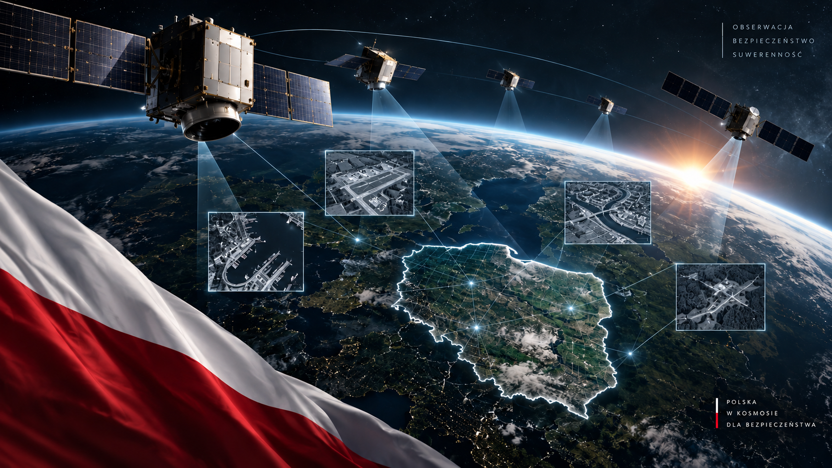
Jeszcze kilka lat temu polskie zdolności wojskowe w zakresie obserwacji Ziemi z przestrzeni kosmicznej zasadniczo opierały się na dostępie do danych pozyskiwanych przez systemy należące do zagranicznych operatorów. We wrześniu 2026 r. sytuacja wygląda już inaczej. Polska nie tylko korzysta z komercyjnych i sojuszniczych zobrazowań satelitarnych, lecz stopniowo tworzy własną, wielowarstwową architekturę orbitalną.
Proces ten obejmuje jednocześnie zakup dużych satelitów optycznych od Airbusa, rozwój krajowych mikrosatelitów, wykorzystanie radarów z syntetyczną aperturą (ang. Synthetic Aperture Radar – SAR) oraz budowę własnego zaplecza do odbioru, przetwarzania i dystrybucji danych. Znaczenie tej zmiany wykracza daleko poza samo umieszczanie polskich satelitów na orbicie. Chodzi o przechodzenie od dostępu do danych do możliwości samodzielnego określania, co, kiedy i z jaką częstotliwością Polska chce obserwować z orbity.
Francuski kontrakt był początkiem, nie końcem
Jednym z pierwszych dużych kroków w tym kierunku była umowa zawarta 27 grudnia 2022 r. przez Agencję Uzbrojenia z Airbus Defence and Space. Jej przedmiotem było dostarczenie Polsce dwóch bardzo wysokiej rozdzielczości satelitów optycznych wraz z segmentem naziemnym, usługami wyniesienia, szkoleniem personelu oraz wsparciem technicznym. Jeszcze przed dostarczeniem własnych satelitów umowa zapewniła Polsce dostęp do zobrazowań istniejącej konstelacji Pléiades Neo.
To istotne rozróżnienie, ponieważ Polska nie kupiła dwóch funkcjonujących satelitów Pléiades Neo znajdujących się już na orbicie. Zamówiła natomiast dwa satelity klasy S950, wykorzystujące rozwiązania technologiczne rozwinięte przez Airbusa oraz doświadczenia zdobyte przy programie Pléiades Neo. Ich produkcja pozostaje w toku, a Airbus nadal wskazuje planowane wyniesienie do 2027 r.
Od dostępu do danych do kontroli nad sensorem
W rozpoznaniu wojskowym rozdzielczość obrazu jest tylko jednym z parametrów. Równie istotne są częstotliwość rewizyt, czyli ponownych obserwacji tego samego obszaru, czas dostarczenia danych oraz możliwość samodzielnego zadaniowania sensora.
Właśnie dlatego należy odróżnić dostęp do zobrazowań od suwerenności rozpoznawczej. Państwo posiadające własny system może określać priorytety jego wykorzystania zgodnie z własnymi potrzebami operacyjnymi. Nie oznacza to pełnej niezależności od partnerów, gdyż współczesne systemy wywiadu, obserwacji i rozpoznania (ang. Intelligence, Surveillance and Reconnaissance – ISR) są z natury sieciowe. Ogranicza jednak zależność od dostępności zewnętrznych zasobów. Polska architektura zaczyna zmierzać właśnie w tym kierunku.
PIAST: laboratorium polskich technologii na orbicie
28 listopada 2025 r. z Vandenberg Space Force Base w Kalifornii wyniesiono trzy nanosatelity programu PIAST – PIAST-M, PIAST-S1 oraz PIAST-S2. Projekt Polish ImAging SaTellites, kierowany przez Wojskową Akademię Techniczną, angażuje krajowe instytucje naukowe i przemysłowe, w tym Creotech Instruments, Centrum Badań Kosmicznych PAN, Scanway, PCO oraz Sieć Badawczą Łukasiewicz – Instytut Lotnictwa.
W czerwcu 2026 r. opublikowano kolejne zobrazowania wykonane przez satelity PIAST. Według informacji konsorcjum rezultaty potwierdziły gotowość operacyjną konstelacji i skuteczność systemu obrazowania. To oznacza, że polska obecność w obserwacji Ziemi nie jest już wyłącznie programem zapisanym w harmonogramach.
PIAST ma przy tym znaczenie wykraczające poza same zobrazowania. W przeciwieństwie do zakupu gotowego systemu zagranicznego program służy rozwijaniu krajowych kompetencji w budowie platform satelitarnych, instrumentów optycznych, systemów kontroli i przetwarzania danych. To właśnie ten komponent technologiczny może okazać się jego najważniejszym długoterminowym efektem.
MikroGlob: następny poziom
W porównaniu z eksperymentalno-technologicznym charakterem PIAST, MikroGlob znacznie wyraźniej zmierza w kierunku budowy zdolności operacyjnej przeznaczonej bezpośrednio dla wojska. System obejmuje cztery mikrosatelity optoelektroniczne oparte na opracowanej przez Creotech Instruments platformie HyperSat. Satelity będą pozyskiwać zobrazowania w świetle widzialnym i bliskiej podczerwieni.
7 lipca 2026 r. program wszedł w fazę orbitalną. W ramach misji Transporter-17 rakiety Falcon 9 na orbitę wyniesiono pierwszego satelitę programu – PIRX-1, określany również jako MikroGlob-1. Po oddzieleniu od rakiety nawiązano z nim dwukierunkową łączność i rozpoczęto proces uruchamiania systemów orbitalnych.
Według aktualnego harmonogramu zakończenie realizacji systemu MikroGlob i jego przekazanie resortowi obrony ma nastąpić do 31 marca 2027 r.
Duży satelita czy konstelacja małych?
Na pierwszy rzut oka równoległe inwestowanie w duże satelity Airbus S950, mikrosatelity MikroGlob i nanosatelity PIAST może wydawać się dublowaniem zdolności. W rzeczywistości systemy te mogą się uzupełniać.
Duże platformy mogą zapewniać bardzo wysoką jakość zobrazowania i parametry wymagane przy szczegółowej analizie obiektów. Mniejsze satelity pozwalają natomiast budować liczniejsze konstelacje, zwiększać częstotliwość obserwacji i rozwijać własne technologie znacznie szybciej.
Nie chodzi zatem o znalezienie jednego „idealnego satelity”. Znacznie ważniejsze staje się stworzenie systemu systemów, w którym dane z różnych sensorów trafiają do wspólnego środowiska rozpoznawczego. I właśnie tutaj kończą się możliwości samej optyki. Nawet najbardziej zaawansowany sensor elektrooptyczny pozostaje uzależniony od warunków atmosferycznych: zachmurzenie może całkowicie uniemożliwić obserwację interesującego obszaru.
Dlatego równolegle z systemami optycznymi Polska rozwija drugi filar architektury rozpoznawczej – satelity radarowe SAR, zdolne do obrazowania powierzchni Ziemi niezależnie od pory dnia i w znacznie szerszym zakresie warunków pogodowych.
Aleksandra Radomska
Grafika: Aleksandra Radomska (AI)
Poland is building its own eyes in orbit: A new architecture for military satellite reconnaissance
Just a few years ago, Poland’s military Earth observation capabilities relied largely on access to data collected by systems operated by foreign providers. By September 2026, the situation looks markedly different. Poland not only draws on commercial and allied satellite imagery but is also gradually building its own multi-layered space-based architecture.
This process encompasses the acquisition of large optical satellites from Airbus, the development of domestically produced microsatellites, the use of Synthetic Aperture Radar (SAR), and the establishment of national infrastructure for receiving, processing and distributing satellite data. The significance of this shift extends far beyond simply placing Polish satellites in orbit. It marks a transition from access to data toward the ability to independently determine what Poland wants to observe from orbit, when it wants to observe it and how frequently.
The French contract was the beginning, not the end
One of the first major steps in this direction was the contract signed on 27th December 2022 between Poland’s Armament Agency and Airbus Defence and Space. The agreement covers the delivery of two very-high-resolution optical Earth observation satellites, together with a ground segment, launch services, personnel training and technical support. Even before Poland receives its own satellites, the contract has provided access to imagery from the existing Pléiades Neo constellation.
This distinction is important. Poland did not purchase two operational Pléiades Neo satellites already in orbit. Instead, it ordered two S950-class satellites incorporating technological solutions developed by Airbus and experience gained through the Pléiades Neo programme. Production remains underway, with Airbus continuing to indicate a planned launch by 2027.
From data access to sensor control
In military reconnaissance, image resolution is only one parameter determining a system’s operational value. Equally important are revisit frequency, the ability to observe the same area repeatedly, data delivery latency and the ability to independently task the sensor.
This is why access to imagery must be distinguished from reconnaissance sovereignty. A state operating its own system can set collection priorities in accordance with its own operational requirements. This does not imply complete independence from partners, as modern Intelligence, Surveillance and Reconnaissance (ISR) systems are inherently networked. It does, however, reduce dependence on the availability of external assets. Poland’s emerging architecture is increasingly moving in this direction.
PIAST: A laboratory for Polish space technologies
On 28th November 2025, three nanosatellites developed under the PIAST programme – PIAST-M, PIAST-S1 and PIAST-S2 – were launched from Vandenberg Space Force Base in California. The Polish ImAging SaTellites (PIAST) project, led by the Military University of Technology, brings together Polish scientific institutions and industrial partners, including Creotech Instruments, the Space Research Centre of the Polish Academy of Sciences, Scanway, PCO and the Łukasiewicz Research Network – Institute of Aviation.
In June 2026, further imagery acquired by the PIAST satellites was released. According to the consortium, the results confirmed the constellation’s operational readiness and the effectiveness of its imaging system. Poland’s presence in Earth observation is therefore no longer confined to programmes and development schedules.
PIAST is significant for reasons extending beyond the imagery itself. Unlike the acquisition of a ready-made foreign system, the programme contributes to developing domestic expertise in satellite platforms, optical payloads, satellite control systems and data processing. In the long term, this technological component may prove to be one of the programme’s most important outcomes.
MikroGlob: The next level
Compared with the experimental and technology-demonstration character of PIAST, MikroGlob is much more explicitly oriented toward developing an operational capability for direct military use. The system comprises four electro-optical microsatellites based on the HyperSat platform developed by Creotech Instruments. The satellites will acquire imagery in the visible and near-infrared (NIR) spectral ranges.
On 7th July 2026, the programme entered its orbital phase. The first satellite, PIRX-1, also known as MikroGlob-1, was placed into orbit aboard a Falcon 9 during the Transporter-17 mission. Following separation from the launch vehicle, two-way communications with the spacecraft were established and the commissioning of its onboard systems began.
Under the current schedule, the MikroGlob system is expected to be completed and handed over to the Polish Ministry of National Defence by 31st March 2027.
A large satellite or a constellation of smaller ones?
At first glance, investing simultaneously in large S950 satellites, MikroGlob microsatellites and PIAST nanosatellites might appear to duplicate capabilities. In practice, these systems can complement one another.
Large platforms can provide very high-quality imagery and the performance required for detailed analysis of objects and targets. Smaller satellites, meanwhile, make it possible to deploy larger constellations, increase observation frequency and develop domestic technologies on shorter timescales.
The objective, therefore, is not to identify a single ‘ideal satellite’. Far more important is the creation of a system of systems, in which data from different sensors feed into a common intelligence environment. This is also where the limitations of optical systems become apparent. Even the most advanced electro-optical sensor remains dependent on atmospheric conditions: cloud cover can completely prevent observation of an area of interest.
For this reason, alongside its optical systems, Poland is developing a second pillar of its reconnaissance architecture – SAR satellites capable of imaging the Earth’s surface regardless of the time of day and across a much broader range of weather conditions.
Aleksandra Radomska
Graphic: Aleksandra Radomska (AI)